What Does GCSE Geography Actually Test?
What does GCSE Geography actually test? Learn how examiners reward knowledge, data skills, application, fieldwork evidence and justified judgements.
A revision folder can be full of case-study facts and still leave one uncomfortable question unanswered: what will earn marks when the paper is opened?
So, what does GCSE Geography actually test? The short answer is knowledge, but not knowledge alone. Examiners reward your ability to understand geographical relationships, apply ideas to familiar and unfamiliar contexts, interpret evidence, use geographical and mathematical skills, evaluate information and reach justified conclusions.
That distinction matters. Remembering a fact gives you something to work with. The larger challenge is deciding which fact is relevant, connecting it to the resource or question, and using it to support an argument.
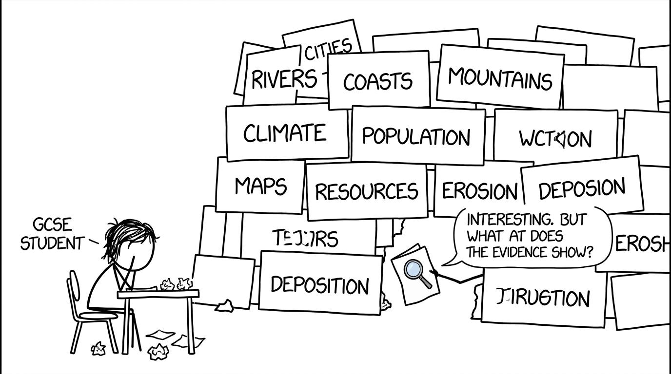 A student discovers that an exam wants evidence as well as flashcards
What GCSE Geography assesses: the quick checklist
Across AQA, Edexcel, OCR and Eduqas GCSE Geography specifications, you should be ready to:
- recall accurate knowledge about places, processes, environments and scales;
- explain concepts, causes, effects and interrelationships;
- apply what you know to resources and unfamiliar settings;
- interpret maps, photographs, graphs, tables and written sources;
- analyse patterns, trends, relationships and anomalies;
- evaluate evidence, strategies, viewpoints and fieldwork methods;
- use cartographic, graphical, numerical and statistical skills;
- construct a supported argument and make a clear judgement;
- communicate precisely using geographical terminology.
This is why effective revision needs more than reading notes. Start with the AQA GCSE Geography revision guides, but follow recall with source interpretation and exam-style practice.
The four assessment objectives explain where the marks go
For the GCSE Geography qualifications regulated under the shared assessment framework used by the major boards, marks are organised around four assessment objectives. The wording is consistent even though paper structures, topics and question styles vary between specifications.
AO1: accurate geographical knowledge
AO1 accounts for 15%15\%15% of the qualification. It rewards knowledge of locations, places, processes, environments and different scales.
This includes definitions, sequences, named examples, case-study details and knowledge of physical and human processes. If a question asks you to identify, state, name or give something, recall is likely to be important.
But AO1 is only 15%15\%15%. That does not make knowledge unimportant. It means knowledge is usually the raw material rather than the finished answer. A student who knows fewer facts but selects and applies them precisely can outperform someone who reproduces an entire memorised page without answering the question.
AO2: understanding relationships
AO2 contributes 25%25\%25%. It assesses whether you understand concepts and the interrelationships between places, environments and processes.
Knowing that urbanisation occurs is knowledge. Explaining why employment opportunities encourage migration, how that affects housing demand, and why consequences differ between groups demonstrates understanding.
Strong AO2 responses form connected chains. They move beyond naming a cause or consequence and explain how one change leads to another. Words such as because, therefore and as a result can help reveal that reasoning, provided the links are geographically valid.
AO3: application, analysis, evaluation and judgement
At 35%35\%35%, AO3 has the largest weighting. This is the clearest answer to what examiners reward beyond memorisation.
AO3 asks you to apply knowledge and understanding in order to interpret, analyse and evaluate geographical information and issues, then make judgements. A resource may present a place you have never revised. You are not expected to have memorised it. You are expected to recognise relevant processes, extract evidence and reason from what is provided.
Application means choosing knowledge that fits the specific context. Analysis means examining patterns and relationships rather than listing disconnected observations. Evaluation means weighing evidence, strengths, limitations or competing views. A judgement should answer the question and be supported by the evidence already discussed.
MathsGenie’s guide to formulating geographical enquiries and arguments develops the useful sequence of evidence, explanation and judgement.
AO4: geographical skills
AO4 is worth 25%25\%25%. It covers selecting, adapting and using skills and techniques to investigate questions, deal with information and communicate findings.
That includes map reading, graph construction, numerical calculations, statistical interpretation, fieldwork techniques and the presentation of conclusions. Skills are not restricted to a separate skills paper. Depending on your board, they can appear alongside physical geography, human geography, issue evaluation and fieldwork.
The cartographic skills revision guide covers scale, direction, relief, grid references and spatial patterns. You can then test the same abilities through cartographic exam-style questions.
Geography also tests mathematical and statistical confidence
At least 10%10\%10% of the subject marks must assess mathematical and statistical techniques at an appropriate GCSE level. This is one reason geography can feel unexpectedly mathematical.
You may need to work with:
- percentages, percentage change and proportion;
- ratio, frequency, magnitude and scale;
- unit conversions, area and distance;
- mean, median, mode and range;
- quartiles, interquartile range and cumulative frequency;
- scatter graphs, correlation and lines of best fit;
- tables, population pyramids, choropleth maps and other data displays.
The arithmetic is rarely the whole task. You may also have to interpret the result geographically. For example, identifying a trend is only the beginning; higher-quality analysis supports it with data, recognises anomalies and considers what the pattern means.
For focused support, use the GCSE Geography statistical skills guide. The AQA graphical skills guide also helps you select and interpret suitable charts. If scatter graphs are a weak point in both subjects, revisit the GCSE Maths scatter graphs guide.
This crossover is useful for students preparing for maths exams. Accuracy with scales, units, percentages and averages supports both subjects, while geography adds a further demand: explaining what the result means in context.
Examiners reward the use of evidence
A vague statement may be geographically plausible but difficult to reward highly. Evidence makes reasoning visible.
Useful evidence can come from:
- a named place or relevant case study;
- a value and unit taken from a graph or table;
- a pattern visible on a map;
- a feature identified in a photograph;
- a result from your fieldwork;
- a precise detail from an unfamiliar source.
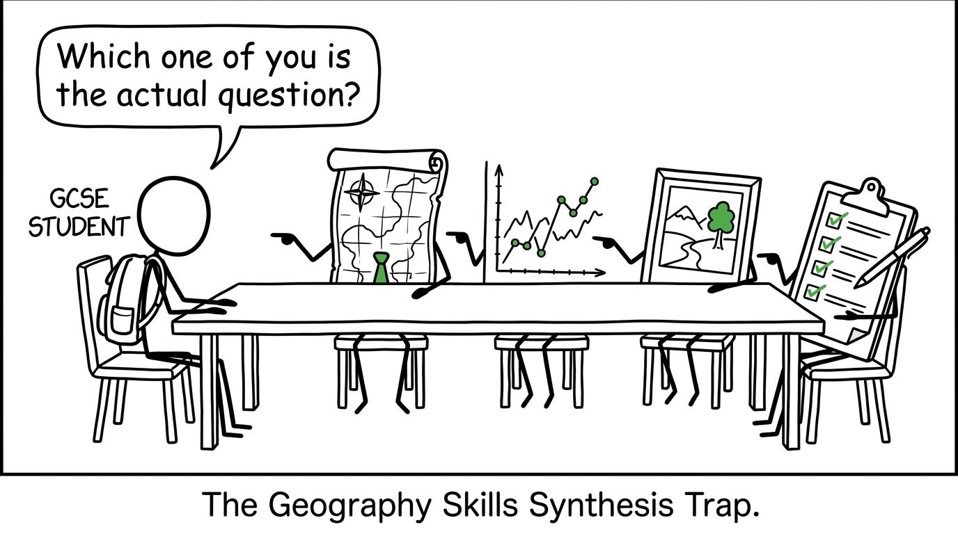 A map, graph, photograph and clipboard debate which is the real question
The strongest responses do not bolt evidence onto the end of a paragraph. They use it to support a claim and explain why it matters. A helpful mental structure is:
- make a relevant claim;
- select precise evidence;
- explain the geographical relationship;
- connect it directly to the question;
- add a qualified judgement where required.
A qualification is often more convincing than an absolute claim. Effects may vary by place, stakeholder, scale or timescale. Recognising that complexity is not indecision; it is geographical thinking.
Fieldwork tests the enquiry process, not just your trip
Fieldwork assessment is another place where memorisation alone falls short. You need secure knowledge of your own enquiries, but examiners also assess whether you understand how an investigation works.
Be prepared to explain:
- the enquiry question or hypothesis;
- why the location and methods were suitable;
- how primary and secondary data were collected;
- the sampling approach and its limitations;
- how results were processed and presented;
- what patterns or relationships appeared;
- whether the conclusion was supported;
- how reliability or validity could be improved.
Some questions place fieldwork ideas in an unfamiliar context. The transferable skill is the enquiry cycle: ask, collect, present, analyse, conclude and evaluate. The GCSE Geography fieldwork guide helps connect those stages.
When suggesting an improvement, be specific. “Collect more data” is weaker than identifying what additional data should be collected, where, when and how it would address the limitation.
Command words tell you what kind of thinking to show
Command words are instructions, not decorative language. Although exact guidance and mark tariffs differ by exam board, the distinction between tasks remains important:
- Describe: identify characteristics, distributions, patterns or changes.
- Explain: give reasons or show how a process works.
- Analyse: break information into meaningful patterns and relationships.
- Assess: weigh importance or significance using evidence.
- Evaluate: consider strengths, weaknesses or viewpoints and reach a judgement.
- To what extent: decide how far a statement is valid, usually with a qualified conclusion.
Do not assume that one command word always corresponds to one assessment objective. Questions can combine objectives, and the wording must be read alongside the resource, context and mark allocation.
A revision method that matches the assessment
The safest revision plan trains all four objectives rather than treating every topic as a memory test.
For each topic:
- Recall: retrieve definitions, processes, locations and case-study evidence without notes.
- Connect: explain causes, consequences and interrelationships aloud or in writing.
- Apply: use an unfamiliar map, graph, photograph or short source.
- Practise: answer an exam-style question under a sensible time limit.
- Review: use the mark scheme to identify whether lost marks came from knowledge, application, evidence, skills or judgement.
Keep a marks-leak list. “Revise rivers” is too broad to guide your next session. “I describe graph patterns without quoting data” or “my fieldwork improvements are vague” gives you a repairable problem.
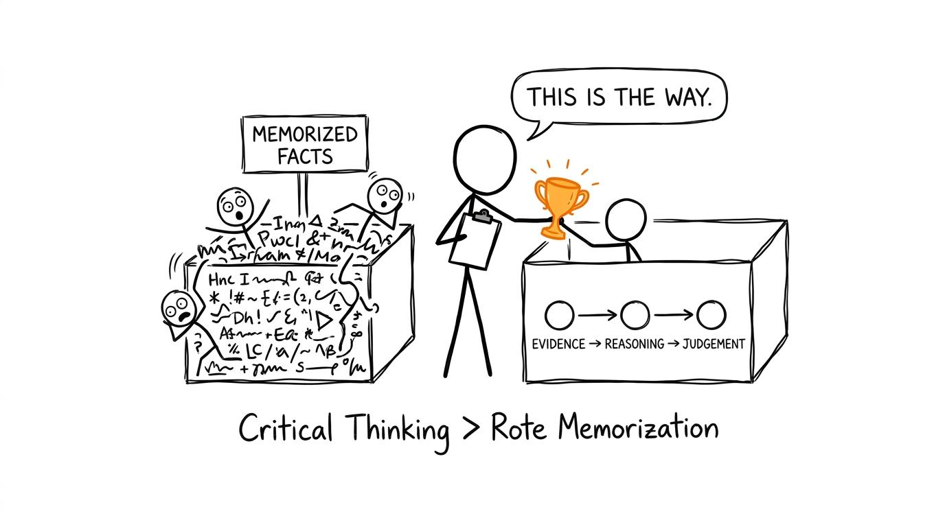 An examiner chooses a chain of evidence, reasoning and judgement over a pile of facts
Common mistakes that lose GCSE Geography marks
Reproducing everything you remember
A long case-study paragraph can still be irrelevant. Select details that answer the exact question and fit its scale, location and issue.
Describing when the question asks for analysis
Description says what the resource shows. Analysis explores relationships, contrasts, trends and significance. Use data as evidence, then explain what it suggests.
Ignoring the resource
If a question supplies a figure, map or photograph, use precise information from it. General knowledge cannot replace required source evidence.
Giving an unsupported conclusion
A conclusion should follow from the argument. State the deciding factor, explain why it carries the most weight and acknowledge an important condition or limitation where relevant.
Losing accuracy in numerical work
Check units, scales, axes and keys before calculating. Show sufficient working, round sensibly and interpret the result in its geographical context.
Writing generic fieldwork evaluation
Improvements must address identified weaknesses. Link the limitation to its effect on accuracy, reliability or representativeness, then propose a practical change.
Turn knowledge into marks with MathsGenie
GCSE Geography tests whether you can think with geographical knowledge, not merely store it. Facts remain essential, but the larger share of marks rewards understanding, application, evidence, skills and judgement.
Start with MathsGenie’s free revision guides, then move quickly into practice questions and mark-scheme review. For the mathematical skills shared by geography and GCSE Maths, use MathsGenie’s revision lessons, mini tests and video solutions before building exam stamina with past papers and predicted papers.
The goal is not to know everything. It is to recognise what the question demands, select what matters and make your reasoning clear enough to earn the marks.