GCSE Geography Key Terminology Mistakes to Avoid
GCSE geography key terminology mistakes explained: learn which words students confuse, why precision matters, and how to protect marks across every exam paper.
A student can understand a topic and still lose marks because one word points the answer in the wrong direction. Calling weathering erosion, treating urbanisation as a synonym for migration, or describing when the question asks for an explanation can turn sound knowledge into an imprecise response.
That is the real danger behind GCSE geography key terminology mistakes. Geography exams reward accurate selection and application of knowledge, not merely familiar-sounding vocabulary. Across AQA, Edexcel, OCR and Eduqas, command words tell you what kind of response to produce, while specialist terms identify the exact concept, process or category being assessed.
The solution is not to memorise longer definitions. It is to learn the boundaries between similar words.
A quick terminology checklist
Before submitting an answer, ask:
- Have I responded to the command word?
- Am I naming a process, landform, cause, effect or response?
- Have I confused a short-term event with a long-term pattern?
- Does my human geography term describe movement, growth or distribution?
- Have I separated social, economic and environmental factors?
- Are my fieldwork claims about accuracy, reliability and validity genuinely different?
- Have I used statistical language such as correlation, mean and percentage change precisely?
- Does my terminology match my exam board's specification?
Exact wording and mark tariffs can vary between specifications, so use your school's materials and official board guidance alongside this checklist. The principle, however, is consistent: precise words produce focused answers.
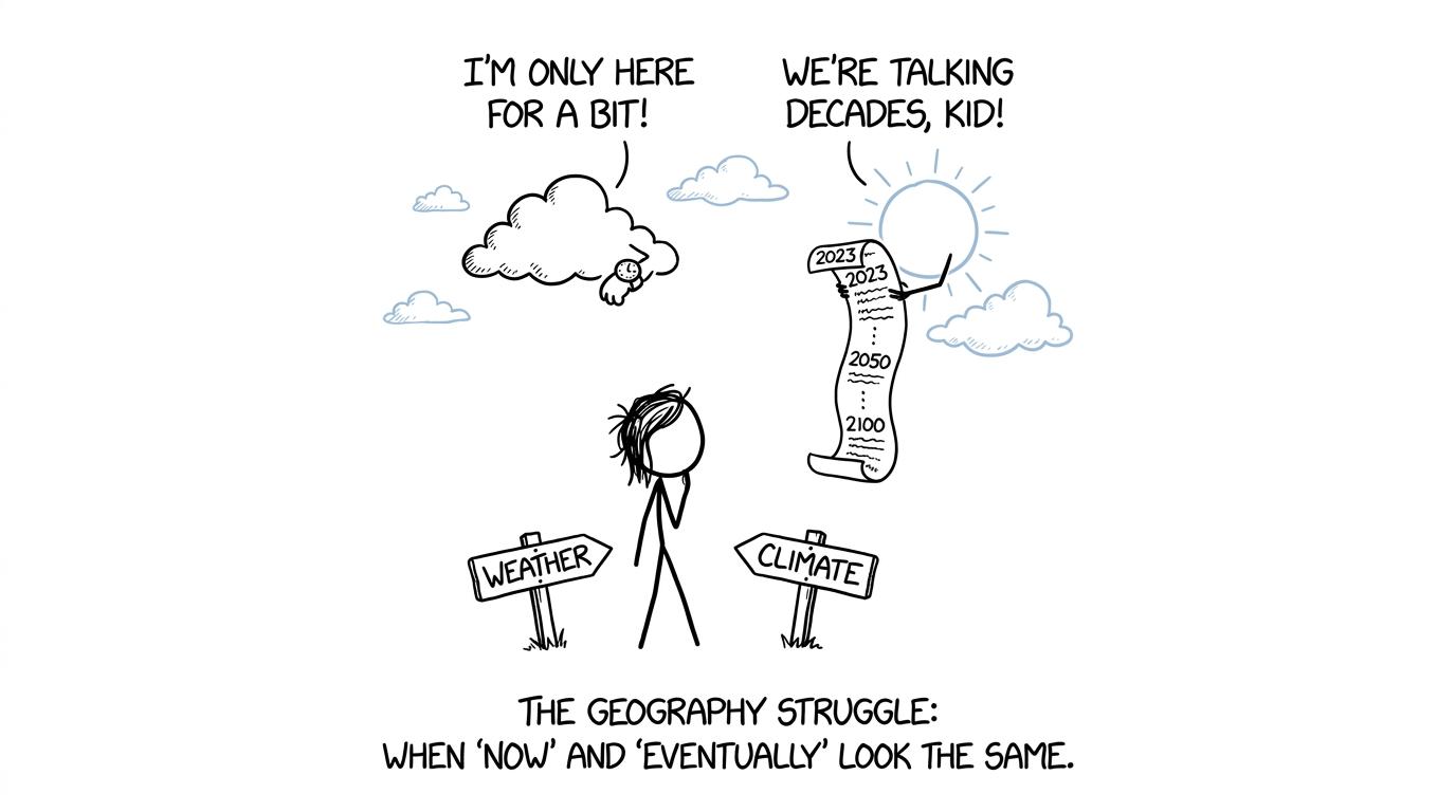 A cloud with a watch and a sun with a calendar help a student separate weather from climate
Command words that change the answer
Command words are not decorative instructions. They establish the task.
Describe and explain
Describe means to give characteristics, patterns or features. In a resource question, that normally requires evidence from the map, graph, photograph or table. Direction, location, size and variation may all be relevant.
Explain asks how or why something happens. It requires linked causes, processes or reasons. An answer that only states what happened remains descriptive, even if it contains several facts.
This distinction costs marks when a student recognises a pattern but never accounts for it. Conversely, spending time explaining causes in a short description question may add material that the mark scheme does not require.
Compare and contrast
Compare requires an explicit relationship between both items. Writing one paragraph about each place without connecting them leaves the examiner to make the comparison.
Use comparative language such as higher than, more concentrated, whereas or both. Include similarities when the question or board definition requires them. Contrast normally concentrates on differences.
Assess, evaluate and justify
These words require judgement rather than a list.
- Assess asks for an informed judgement about importance, significance or validity.
- Evaluate asks you to judge value, success or effectiveness using evidence.
- Justify asks you to support a choice or position with valid reasons.
- To what extent asks how far a claim is true after considering evidence and alternatives.
Definitions vary slightly between boards, but each demands reasoning. A catalogue of advantages and disadvantages without a supported conclusion is usually incomplete.
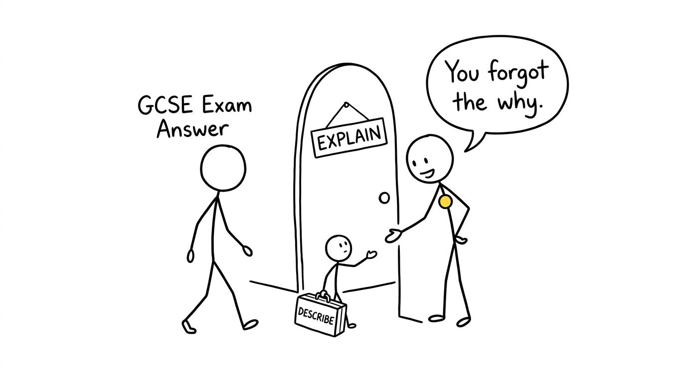 A sentence carrying only a Describe suitcase discovers that an Explain doorway also needs the why
Physical geography terms students confuse
Weather and climate
Weather is the condition of the atmosphere at a particular time and place. Climate is the longer-term pattern of atmospheric conditions for an area.
One storm is weather. A sustained change in typical temperature or rainfall patterns concerns climate. Confusing them weakens explanations because the timescale no longer matches the process being discussed.
Hazard, risk and disaster
A natural hazard is a natural event or process with the potential to cause harm. Risk concerns the likelihood and possible consequences of that harm. A disaster occurs when impacts seriously disrupt a community and exceed its ability to cope using its own resources.
Calling every earthquake a disaster ignores exposure, vulnerability and capacity to cope. The physical event may be similar, but its human consequences can be very different.
Primary and secondary effects
A primary effect results directly from the event. A secondary effect develops from the primary effects or from the disruption they cause.
This is different from timing. Immediate and long-term classify effects or responses by when they occur, not by whether the causal link is direct. A secondary effect can emerge quickly, while a primary effect may have lasting consequences.
Weathering, erosion and mass movement
These processes are related, but not interchangeable:
- Weathering breaks rock down in place.
- Erosion wears away and removes material through moving agents such as water, waves, wind or ice.
- Mass movement transfers weathered material downslope under gravity.
- Transportation moves sediment.
- Deposition occurs when material is laid down, often after energy decreases.
If a question asks how a landform develops, naming the wrong process can break the sequence. Precision matters within erosion too: hydraulic action, abrasion, attrition and solution describe different mechanisms.
Process and landform
A process is an action that changes the landscape. A landform is a physical feature produced or modified by processes. Erosion is a process; a gorge is a landform. Deposition is a process; a spit is a landform.
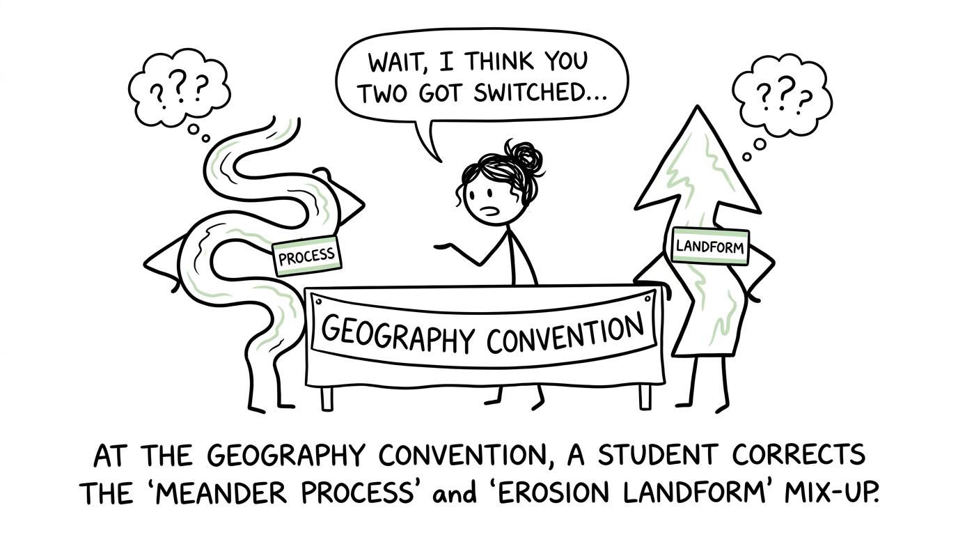 A student corrects the mixed-up name badges of a landform and a geographical process
Human geography terminology that loses precision
Site and situation
A settlement's site is the physical land on which it was built, including features such as relief, water supply and geology. Its situation is its location relative to surrounding settlements, routes and physical features.
Examiner feedback has specifically identified confusion between these terms. Describing modern transport connections does not answer a question about the original physical site.
Urbanisation and urban growth
Urbanisation is an increase in the proportion of a population living in urban areas. Urban growth is an increase in the absolute size or population of an urban area.
They can occur together, but they are not identical. Urbanisation is also not simply rural-to-urban migration: migration can contribute, but natural increase and changes in settlement classification may matter too.
Migration, immigration and emigration
Migration is movement involving a change of usual residence. Immigration means moving into a country or area; emigration means moving out.
A push factor encourages someone to leave an origin. A pull factor attracts someone towards a destination. Better employment at the destination is a pull factor, not a push factor from the origin.
Population distribution and density
Population distribution describes where people live and the pattern they form. Population density measures the number of people per unit area, commonly expressed per square kilometre.
A place can have a high total population but a relatively low density if its area is very large. This same distinction between totals and rates appears frequently in geographical data.
Standard of living and quality of life
Standard of living mainly concerns material and economic conditions, including income, goods, services and housing. Quality of life is broader and can include health, security, environmental quality, relationships and personal wellbeing.
Using income alone as proof of quality of life overlooks those wider dimensions.
Mitigation and adaptation
Mitigation reduces the causes or severity of a problem. In climate change, that includes reducing greenhouse gas emissions or increasing carbon storage. Adaptation adjusts people, infrastructure or systems to actual or expected effects.
Flood-resistant buildings are adaptation. Reducing emissions is mitigation. A strong answer may discuss both, but should not rename one as the other.
Data and fieldwork words that need exact meanings
Geography includes substantial cartographic, graphical, numerical and statistical work. AQA states that these skills can be assessed across its written papers, and comparable skills appear in other GCSE specifications.
Accuracy, reliability and validity
Accuracy concerns how close a measurement is to the true or accepted value. Reliability concerns whether a method produces consistent results when repeated. Validity asks whether the investigation or method actually measures what it intends to measure.
Repeating measurements may reveal inconsistency and improve reliability. It does not automatically remove a systematic measurement error or make an unsuitable enquiry valid.
Correlation and causation
Correlation is an association between two variables. Causation means a change in one variable produces a change in another.
A scatter graph can indicate positive, negative or no clear correlation, but it cannot by itself prove cause. Strengthen this skill with MathsGenie's scatter graphs revision resources and the geography-focused statistical skills revision guide.
Mean, median, range and percentage change
The mean is the total divided by the number of values. The median is the middle value after ordering the data. The range measures spread using the highest and lowest values:
Range=highest value−lowest value\text{Range}=\text{highest value}-\text{lowest value}Range=highest value−lowest valuePercentage change compares a change with the original value:
Percentage change=new value−original valueoriginal value×100\text{Percentage change}=\frac{\text{new value}-\text{original value}}{\text{original value}}\times 100Percentage change=original valuenew value−original value×100Calling a percentage change merely a difference loses the idea that the change is relative to the starting value. Review GCSE percentages, writing and simplifying ratios and standard form when geographical data exposes a maths weakness.
Common GCSE geography key terminology mistakes
The most damaging habits are often small:
- Using terms as decoration: Specialist words only help when their meaning fits the sentence.
- Giving a near-synonym: Weathering is not a more technical way to say erosion.
- Ignoring scale: Local, national and global effects should not be treated as interchangeable.
- Mixing categories: An economic impact concerns money, employment or production; a social impact concerns people and communities; an environmental impact concerns natural or built surroundings.
- Writing generic evaluation: Saying data is "unreliable" is not enough. Identify the sampling, timing, equipment or recording issue and explain its consequence.
- Forgetting units: Data without units may be ambiguous. Check whether a figure represents millimetres, kilometres, people per square kilometre or a percentage.
- Learning one board's phrasing blindly: AQA, Edexcel, OCR and Eduqas use broadly similar vocabulary, but their command definitions and assessment structures are not identical.
Create a terminology error log while revising. Record the word you misused, the correct distinction and the clue that should trigger it next time. This is more useful than copying an entire glossary.
Turn precise language into a revision habit
Terminology improves through retrieval and application, not highlighting. Cover a definition, recall it, then distinguish it from the nearest confusing term. Next, inspect questions and identify exactly which concept and command word each one tests.
The same routine strengthens your maths preparation. Use MathsGenie's free GCSE maths revision hub for lessons and practice questions, then test your reading accuracy with Edexcel GCSE maths past papers. Near the exams, GCSE predicted papers can help you practise selecting methods under pressure.
A mark scheme is not merely a score sheet. It is a record of what precision looks like. Whether you are defining migration, interpreting a graph or calculating percentage change, compare your wording and method with what was actually rewarded.
Start with one pair of confused terms today. Then use MathsGenie's revision lessons, practice questions, mini tests, past papers, predicted papers, mark schemes and video solutions to build the wider exam habits around it. Better terminology will not replace geographical knowledge. It will make sure the knowledge you already have reaches the page clearly enough to earn its marks.